Nelson Izah
Nelson Izah

Projects & Builds

Tools I'm using to understand the world — web development, GIS, and remote sensing.

Building Now

All Projects

SlopeWatch KZ: Kazakhstan Landslide & Geohazard Atlas
gis

SlopeWatch KZ: Kazakhstan Landslide & Geohazard Atlas

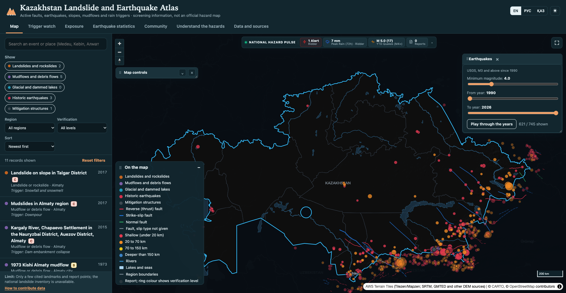
Kazakhstan’s southeastern and eastern mountain cordilleras—notably the Northern Tien Shan, Dzungarian Alatau, and Altai ranges—are among the most geodynamically active and hazard-prone terrains in Central Asia. Catastrophic historical precedents like the 1887 Verny (M7.3), 1889 Chilik (M8.3), and 1911 Kemin (M8.0) earthquakes triggered monumental rock avalanches, valley damming (forming Lake Kaindy), and deadly mudflows (such as the 1921 Almaty and 1963 Lake Issyk outbursts). Yet critical landslide and mudflow data has historically remained confined to academic paywalls, regional qualitative maps, or legacy paper archives, leaving mountain communities and infrastructure vulnerable to cascading climate and seismic threats.

Next.js 14MapLibre GLWebGL DEMTypeScript
QazaqSu Atlas: Kazakhstan Water Atlas
gis

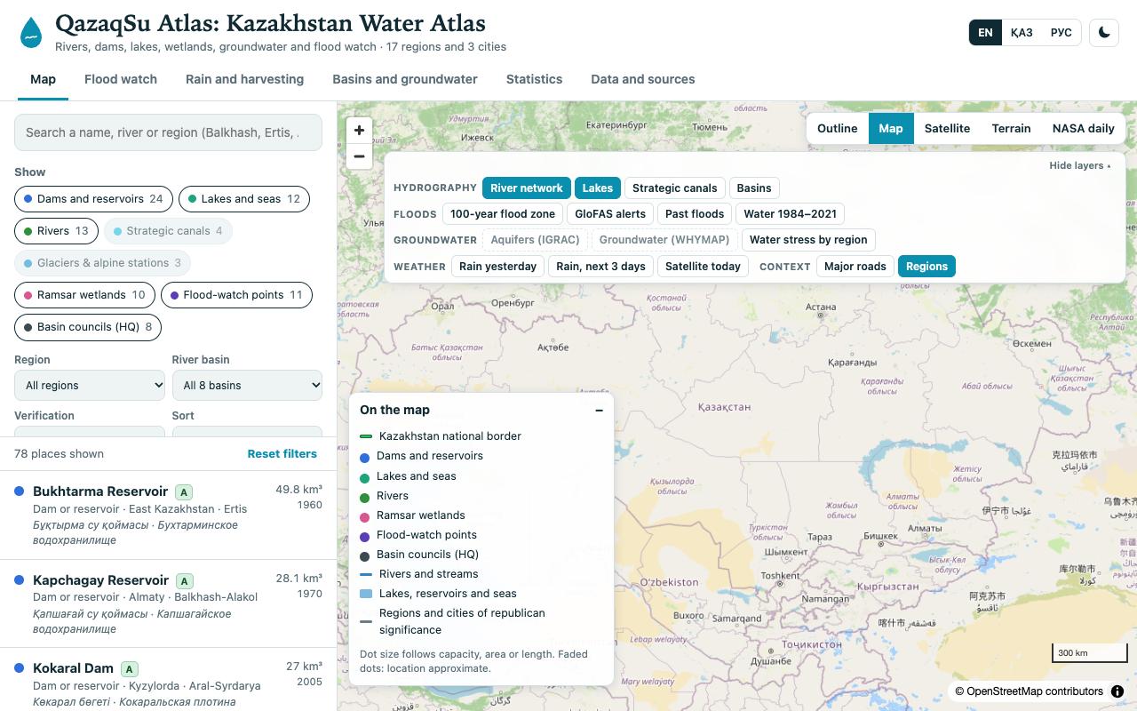
QazaqSu Atlas: Kazakhstan Water Atlas

Kazakhstan’s surface-water resources span 106 km³ with 44.3% arriving through transboundary rivers. That vital hydrological scale is hard to comprehend when split across separate ministries, reports, and desktop archives.

Next.jsMapLibre GLPMTilesTypeScript
GeoMiner: Mineral Exploration Targeting System
remote_sensing

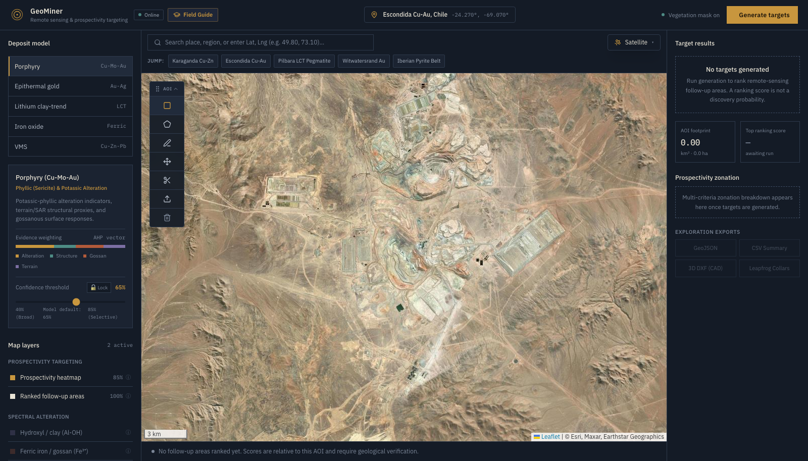
GeoMiner: Mineral Exploration Targeting System

A single 500m diamond drill hole costs ~$250,000. Over exploration license blocks spanning 50 to 5,000 km², blind drilling is financially prohibitive. Early-stage exploration teams require rapid, regional generative reconnaissance to eliminate barren terrain and pinpoint high-probability alteration zones before deploying field crews.

Google Earth EngineSentinel-2Copernicus DEMFastAPI
GeoClass: Browser-Based Land Cover Analysis
gis

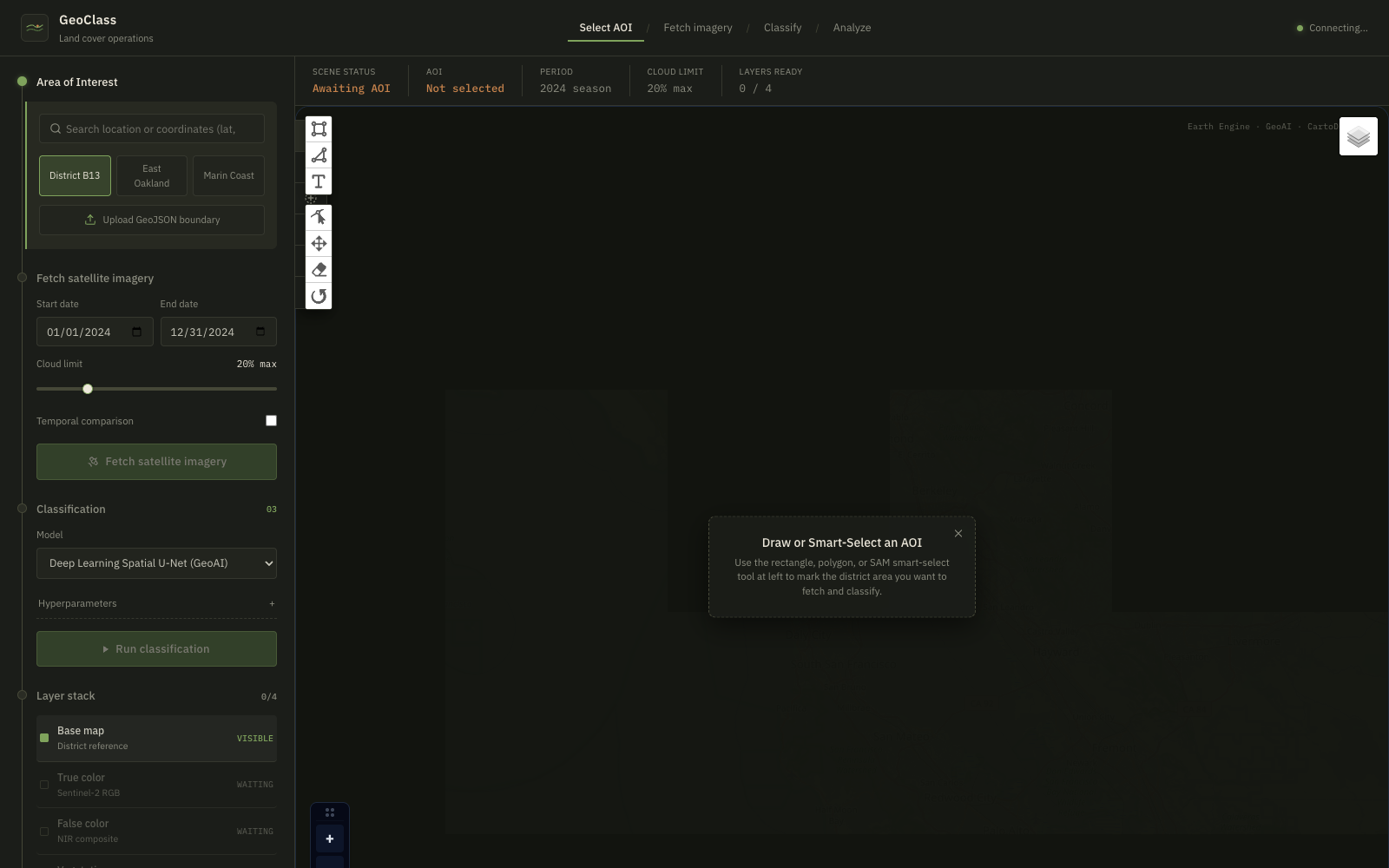
GeoClass: Browser-Based Land Cover Analysis

Traditional satellite land-use and land-cover (LULC) classification requires heavy desktop software (QGIS, ArcGIS, ENVI), gigabytes of raw raster downloads, and complex cloud-masking scripts. Environmental researchers face steep friction when attempting rapid assessments of regional environmental change.

Google Earth EngineSentinel-2FastAPIPython
Agrochain
web

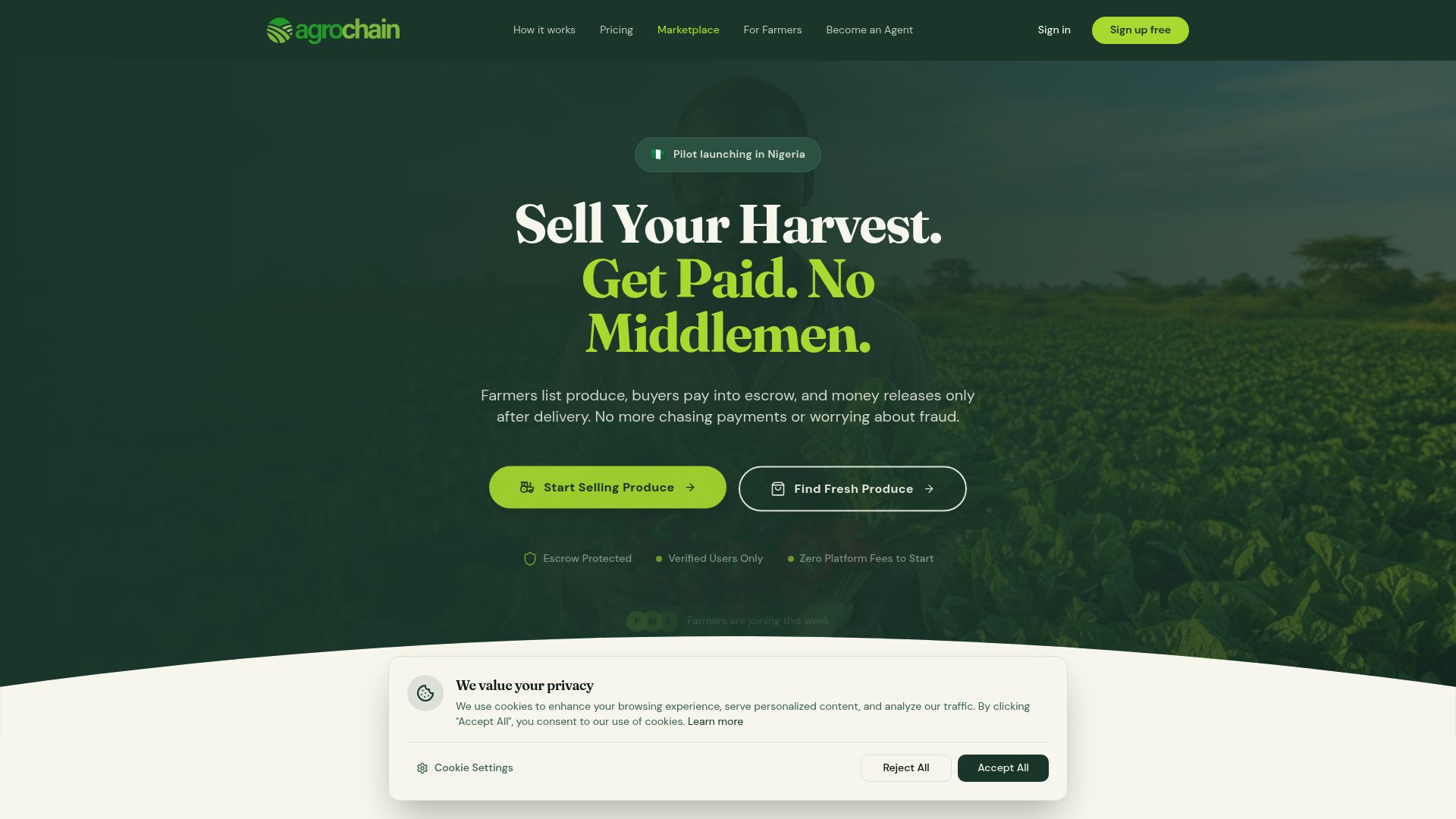
Agrochain

The agricultural sector often suffers from intermediaries taking large cuts, delaying payments, and causing lack of trust between farmers and buyers. Farmers lack secure mechanisms to sell directly to buyers.

Next.jsReactSmart ContractsEscrow
Nigeria GDP Analytics Dashboard
web

Nigeria GDP Analytics Dashboard

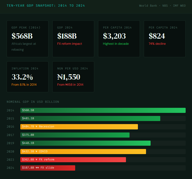
A ten-year deep-dive into Nigeria's GDP performance, sectoral composition, oil dependency, macroeconomic shocks, digital economy growth, and scenario-based forecasting through 2029, built as a production-grade Streamlit analytics dashboard.

PythonStreamlitPlotlyPandas
Nigeria Election Analytics Dashboard
web

Nigeria Election Analytics Dashboard

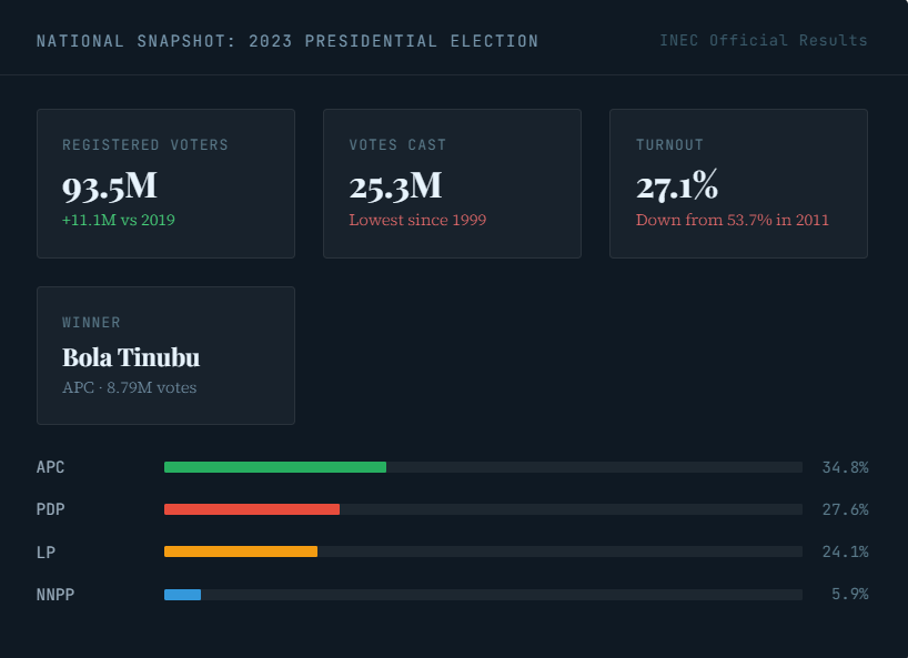
A technical deep-dive into building a real-time election analytics dashboard covering every Nigerian presidential, legislative, and governorship election from 2011 to 2023, with data drawn from INEC, IFES, and IPU Parline.

PythonStreamlitPlotlyPandas
Nigeria Budget Observatory
web

Nigeria Budget Observatory

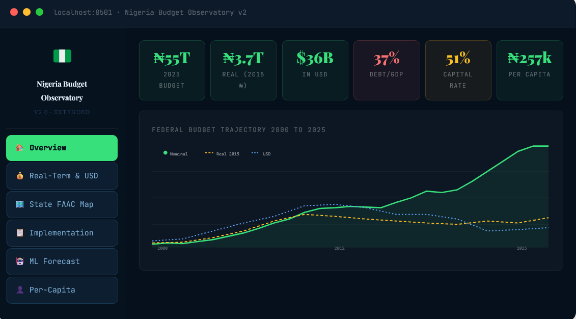
A full-stack data dashboard covering 25 years of Nigeria's fiscal history, from the debt-shackled 2000s to the trillion-naira budgets of today.

PythonStreamlitXGBoost